
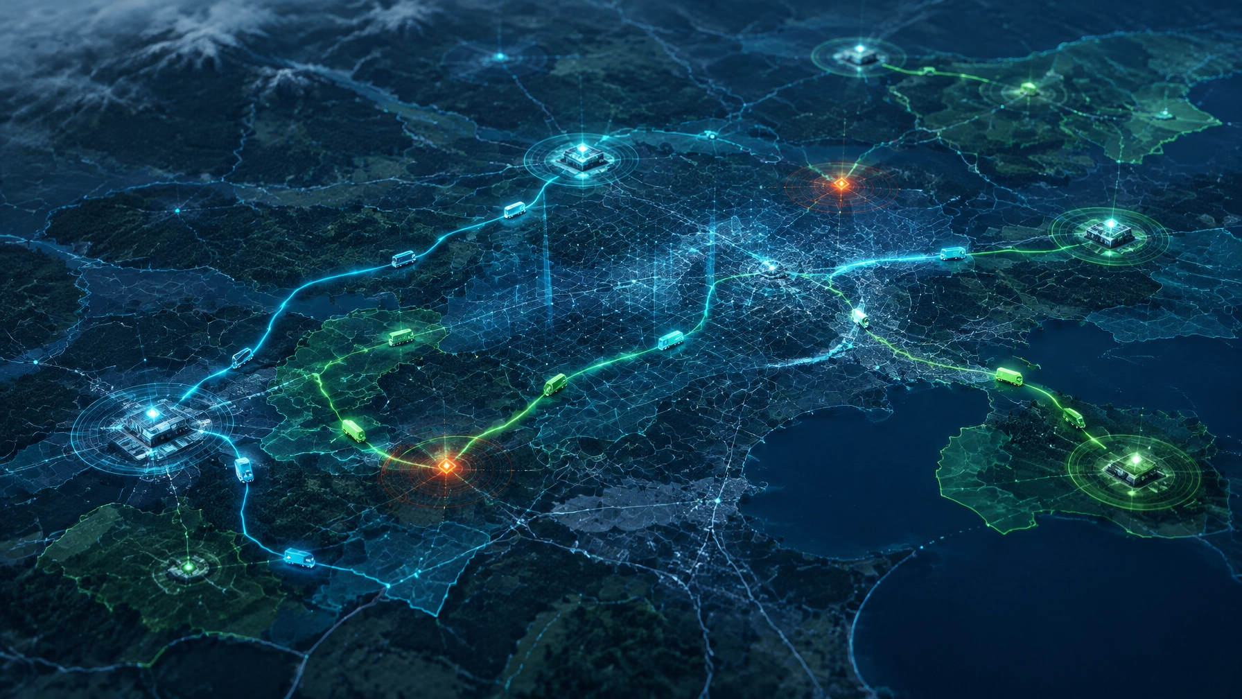
A geospatial AI agent is an AI system that uses location and spatial analysis alongside operational context to answer questions, recommend decisions, or take approved actions. It matters now because platforms are making spatial tools callable by agents. For operations leaders, the outcome is clearer, faster decisions about where work, assets, and people need to go.
TL;DR
- Geospatial AI helps agents reason over location, not just display map pins.
- MCP gives agents a standard way to discover and call spatial tools.
- Dispatch, asset inspection, incident response, and site screening are strong starting points.
- Reliable data, governance, human approval, and a measured pilot come first.
What Is a Geospatial AI Agent, Really?
A dashboard shows status. A geofence triggers an alert when something crosses a boundary. A rule-based system follows logic someone specified in advance. A geospatial AI agent goes further: it uses location as an input to reason over, alongside changing operational context.
Consider a service request. A map may show nearby crews, but an agent can also consider their qualifications, current assignments, depot capacity, traffic or weather conditions, and the appointment schedule. It can identify a suitable option, explain its reasoning, and propose a reassignment. With the right controls, it can prepare an action for approval.
That is the important shift: location becomes part of the question and decision, not just a pin on a map. GIS AI can help teams connect “where is it?” with “what should happen next?” and bring location intelligence into everyday operations.

Why Are Geospatial AI Agents Suddenly Everywhere?
The connector layer is changing. The Model Context Protocol (MCP) is an open standard that lets AI applications discover and call external tools through a consistent interface. In practical terms, an agent can request a spatial operation, such as finding nearby assets or planning a route, without requiring a bespoke connection for every AI platform. The MCP specification describes how servers expose callable tools and how clients invoke them.
That shift is opening geospatial platforms to agent workflows. Esri’s November 2026 update describes MCP support in beta for ArcGIS Location Platform and ArcGIS Enterprise, enabling external agents to access capabilities such as finding places, planning routes, and querying spatial data. The update also covers agentic mapping applications in ArcGIS Online. (Esri, “What’s new in geospatial AI,” November 9, 2026.) CARTO has introduced an MCP server that exposes spatial workflows as tools agents can call. (CARTO, “CARTO MCP Server: turn your AI Agents into geospatial experts”.)
This is a meaningful platform signal: spatial capabilities are becoming callable rather than confined to specialist interfaces. The market is also expanding. Research and Markets estimates the broader geospatial analytics market at $122.96 billion in 2026, reaching $243.83 billion by 2030 at an estimated 18.7% CAGR. (Research and Markets, Geospatial Analytics Market Report 2026.) This is a market estimate, not a guarantee, and it covers geospatial analytics broadly, not geospatial AI agents alone. Together, the technology shift and market activity show why businesses are investing in the ability to turn spatial information into action.
Where Do Geospatial AI Agents Pay Off First?
The strongest early opportunities are operational decisions that change with conditions and depend on several kinds of context:
- Dynamic dispatch and route sequencing: Reevaluate job order when traffic, weather, new requests, or crew availability changes during the day.
- Service-territory balancing: Find persistent gaps or overlaps between workload, coverage areas, and available resources.
- Asset inspection prioritization: Combine imagery, asset location, condition, and work history to help prioritize inspections.
- Outage and incident response: Identify the nearest qualified crew, rather than relying only on the crew originally assigned.
- Permit and site-selection screening: Compare candidate locations against constraints such as access, service coverage, and relevant spatial layers.
Organizations such as Hertz, Flagger Force, Asplundh, and Penn State Health operate at geographic scale and complexity. Their names illustrate the kinds of distributed operations where location is central; they are not claims about geospatial AI deployments or outcomes.
Seisan’s geospatial work connects location data to operational tools, while operational visibility helps teams bring relevant status into a view they can act on. For logistics and fleet and construction and field services teams, the value comes from making the next decision more informed and timely.
What Has to Be True Before You Deploy One?
An agent is only as useful as the data and controls behind it. Start with a location data foundation that includes accurate asset geometries and service territories, not just street addresses. Confirm that operational records use consistent identifiers and that locations are current enough for the decisions you intend to support.
Then expose information through governed APIs or purpose-built tools, not spreadsheet exports that drift out of date. Define agent identities and permissions, and maintain audit logs showing what information the agent accessed, what it proposed, and what action followed.
Keep a person in the approval path for changes to schedules, routes, or crew assignments. MCP provides a way to expose and call tools; it does not replace your access controls, business rules, or approval process. As we explain in our guide to integrating AI agents with legacy systems, agents should work through controlled interfaces rather than receive broad access to core systems.
Finally, evaluate cost per decision, not just cost per map. Include the effort to maintain data, connections, oversight, and exception handling. Sound groundwork makes agent recommendations more trustworthy and easier to operate.

How Do You Measure Whether It Works?
Begin with a bounded pilot and record a baseline before the agent goes live. Select measures that match the specific workflow, such as:
- Dispatch-to-arrival variance
- Drive time per job
- Repeat visits
- Idle asset hours
- Exception resolution time
- Manual reconciliation hours
- Approval override rate
Compare the pilot with the baseline using the same definitions and operating conditions where possible. Track recommendations, approvals, overrides, and failures so the team can see where the agent helps and where it needs adjustment. A good pilot demonstrates measurable operational value while preserving human control.
What Are the Risks of Doing Nothing?
Competitors may route work more effectively, but the deeper issue is the compounding cost of location data no one can act on. When asset, crew, and service information remains disconnected, teams keep reconciling status manually and decisions rely on partial or outdated visibility.
Maps can make a problem easier to see without making it easier to resolve. As more platforms expose spatial tools to agents, organizations with reliable location data and governed access can move from visibility to action. Those without that foundation risk extending the same silos into their AI programs.
Where Does Seisan Fit?
Seisan Consulting, based in Lancaster, Pennsylvania, brings together geospatial development, operational modernization, AI and intelligent automation, and custom business software. We build the location data layer and the governed agent layer together, because an agent pointed at inaccurate spatial data can produce confident recommendations that do not fit the real operation.
We also connect those capabilities to the systems teams already use. Our AI agent integration guide explains how to introduce agents through controlled interfaces, and our article on why fleet dashboards fail to improve decision-making looks at the gap between seeing operational status and acting on it.
The first step is not choosing an agent. It is identifying a location-dependent decision, the data it requires, and the controls needed to make a recommendation useful.
Frequently Asked Questions: What Do Buyers Need to Know?
What makes a geospatial AI agent different from a map dashboard?
A dashboard displays mapped information for people to interpret. A geospatial AI agent can use location and related operational context to reason through a question, call spatial tools, and recommend or prepare an action.
What is MCP’s role in geospatial AI?
MCP is an open standard that lets AI applications discover and call tools exposed by external systems. In geospatial use cases, those tools can provide access to capabilities such as routing, place finding, and spatial queries.
Which operations are a good starting point for geospatial AI agents?
Dynamic dispatch, route sequencing, inspection prioritization, incident response, territory balancing, and site screening are potential starting points. The best pilot is a bounded workflow with accessible data, clear measures, and a human approval path.
What data and safeguards are needed before deployment?
Start with accurate asset and territory geometry, consistent operational records, and governed access through APIs or purpose-built tools. Use defined agent identities, audit logs, and human approval for changes to schedules, routes, or crew assignments.
Ready to identify a practical first use case? Book a working session with Seisan to discuss one location-dependent decision, the data behind it, and how to test it with appropriate controls.